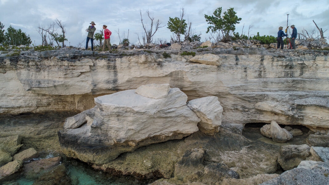
In a new study, researchers at Columbia University’s Lamont-Doherty Earth Observatory say that examining signs of past sea levels along various coasts may have failed to accurately correct for long-term ups and downs of the land itself, Phys.org reports. Based on newly sophisticated measurements made across the Bahamas along with new methods of analysing data, the researchers produced lower estimates for the last interglacial. They say seas peaked at least 1.2 metres higher than today – roughly in line with most current models for the next 100 years or so. However, they say, levels could have been higher. An unlikely upper limit, they say, is 5.3 metres (17 feet). The study appears this week in the Proceedings of the National Academy of Sciences. “To get to 9 metres of sea level rise, you’d have to melt large parts of Greenland and Antarctica,” said lead author Blake Dyer. “This suggests that didn’t happen. So maybe we should feel not as bad about the future. On the other hand, our lower estimate is bad, and our upper one is really bad.” Important to the new study is the fact that as ice sheets build, they depress the land beneath them. The ice that covered northern North America during the last glaciation up to around 15,000 years ago squashed the land down hundreds of metres. But the Earth is elastic; what goes down in one place goes up someplace else. These corollary deformations outside the icy regions are still poorly understood; they may creep for hundreds or thousands of kilometres over hundreds or thousand of years. They move mainly in the pliable mantle, some 100 to 1,000 kilometers down, before bulging back on the surface. Then, when the ice melts, the process goes in reverse; previously ice-covered regions rebound, while those on the fringes sink, in slow seesaw fashion. Theoretically, cycles of bulging and subsidence would be greater closer to the ice, and peter out further south, as evidenced in the islands’ coastal deposits. Trekking along the coasts of seven islands, the team measured the elevations of different kinds of geologic formations, including fossil coral reefs; fossilized edges of ancient beaches and nearshore sand deposits; and fossil sand dunes. They found similar sequences of similar ages on each island – but their elevations varied according to latitude. This meant the variations could not have been produced by water levels alone; movements of the land had to be considered. Putting all the measurements together, they concluded that islands to the north probably sank as much as 10 metres during the interglacial, while those to the south sank only about 6 metres. They combined these findings with hundreds of different models of how glacial isostatic rebound could have traveled through the Earth, and converted the calculations into global sea levels.
https://phys.org/news/2021-08-sea-high-thought-landmasses.html


